-40%
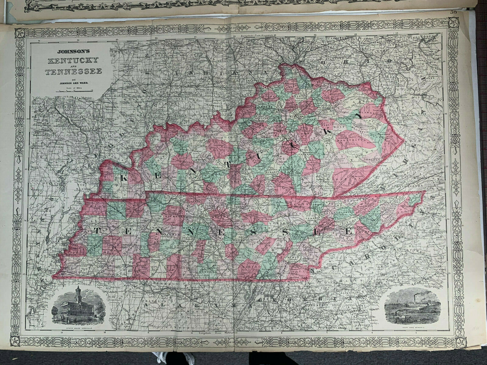
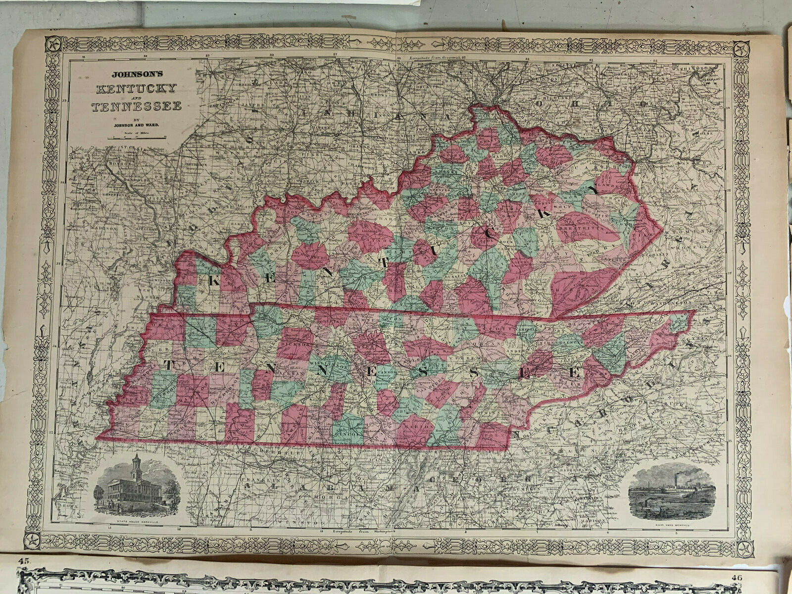
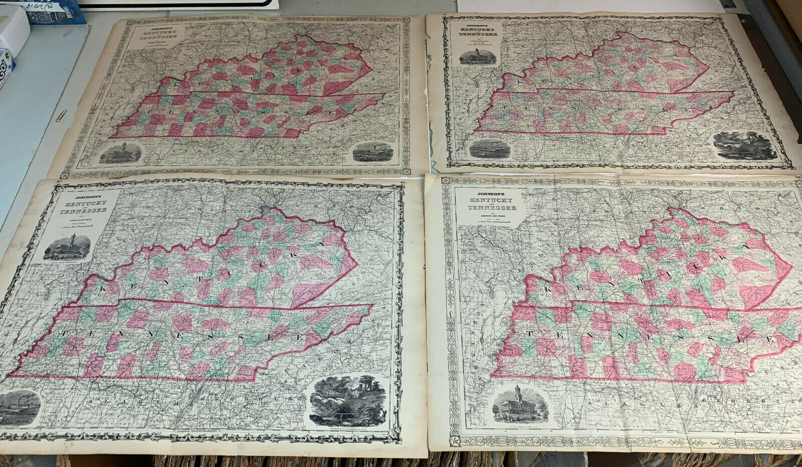
Vintage Lot (4) of 1860s Alvin J. Johnson's Kentucky and Tennessee Antique Maps
$ 34.32
- Description
- Size Guide
Description
This lot contains four 1860's map of Kentucky and Tennessee by A.J. Johnson. They are dated 1866, 1862, 1865, and 1861. They mark county lines, cities, and geographical points of interest. Johnson also illustrated government buildings and other tourist sites along the borders.Condition: Good. Some jagged edges, water stains, foxing, and close margins as shown on these maps.
Measures 26.5 x 18 inches.
